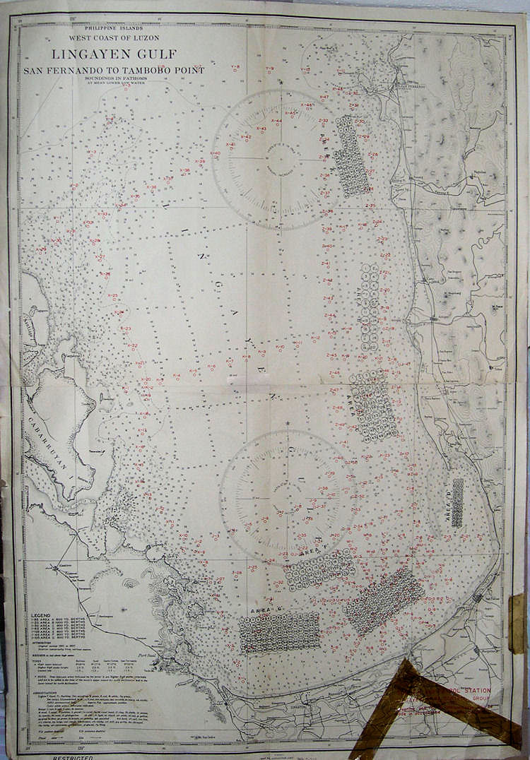
Navigational Charts used by the USS Laffey during WWII
These charts were found on the ship by Fred
Nardei. He was gracious enough to present
them to me as a momento. They now adorn the walls of my computer room.
This was a relatively confined Gulf.
Note the dark color of the scotch tape on the bottom right hand side.
This attests to the age of the chart. .
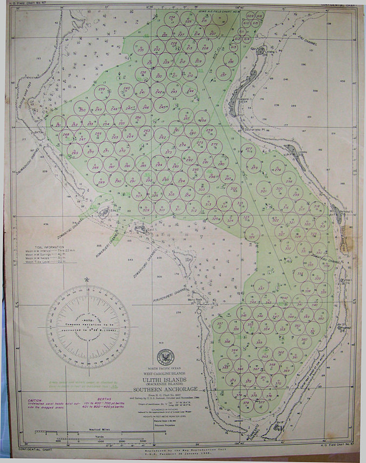
An amazing atoll that berthed every ship in
the Pacific theatre. Most of the time, our ship was in the Southern
Anchorage.
This chart was marked "Confidential" on the back